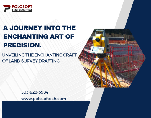
5 Ways LiDAR Data Processing Services is Shaping Urban Development
In the ever-evolving landscape of urban development, technological advancements play a pivotal role in reshaping our cities. One such technology making waves is LiDAR, and its impact is not limited to just capturing three-dimensional images. The real game-changer lies in LiDAR data processing services, which are revolutionizing how cities are planned, developed, and optimized. Here are five ways LiDAR data processing services are transforming urban development.

Precision Mapping for Smart Planning:
LiDAR, short for Light Detection and Ranging, is a remote sensing technology that uses laser light to measure distances and create detailed, accurate maps. When coupled with advanced data processing services, this technology allows urban planners to create highly precise maps of the cityscape. From accurately measuring terrain elevations to mapping the intricate details of buildings and infrastructure, LiDAR data processing provides a solid foundation for smart city planning. This precision enables urban developers to optimize land usage, identify potential risks, and plan infrastructure projects with unprecedented accuracy.
Efficient Infrastructure Design and Maintenance:
LiDAR data processing services offer a goldmine of information that goes beyond basic mapping. It enables the creation of detailed 3D models of existing infrastructure and landscapes. This capability proves invaluable in designing and maintaining urban infrastructure efficiently. Civil engineers can use these 3D models to simulate and analyze the impact of new infrastructure projects, such as roads or bridges, on the existing urban environment. Additionally, LiDAR data aids in proactive maintenance by identifying structural issues and potential hazards, ensuring the longevity and safety of urban infrastructure.
Improved Flood Risk Management:
Cities around the world grapple with the challenges of climate change, including the increased risk of floods. LiDAR data processing services contribute significantly to better flood risk management in urban areas. By accurately mapping the topography of the land, LiDAR helps identify flood-prone areas and assess the potential impact of rising water levels. This information is crucial for implementing effective flood control measures, designing resilient urban landscapes, and safeguarding communities against the devastating effects of flooding.
Enhancing Transportation Systems:
Urban mobility is a critical aspect of city life, and LiDAR data processing services are playing a vital role in enhancing transportation systems. LiDAR technology, integrated with data processing, allows for detailed mapping of road networks, traffic patterns, and pedestrian movements. This information is invaluable for optimizing traffic flow, designing efficient public transportation routes, and enhancing overall urban mobility. From reducing congestion to improving safety, LiDAR-driven insights are paving the way for smarter and more sustainable transportation solutions.
Green Spaces and Urban Ecology:
Preserving and integrating green spaces into urban environments is a growing priority for city planners. LiDAR data processing services aid in understanding and optimizing urban ecology. By providing detailed information on vegetation, tree canopies, and green cover, LiDAR enables planners to design urban spaces that balance development with environmental sustainability. This approach not only enhances the quality of life for urban residents but also contributes to the overall health and resilience of the city's ecosystem.
Choose Polosoft for the Best LiDAR Data Processing Services
The fusion of LiDAR technology and data processing services is reshaping the landscape of urban development. Polosoft Technolgies is at the forefront of providing accurate and quick LiDAR data processing services for all sectors. Along with mapping, we ensure our city structures stand tall and safe, using detailed 3D models for smart infrastructure design and maintenance. When it comes to facing climate challenges like floods, our LiDAR services help manage risks with accurate land mapping. For smoother city movement, we optimize traffic flow and design efficient routes, making transportation smarter and safer. Choosing Polosoft is choosing a partner for a brighter urban future—precise, efficient, and committed to making our cities smarter and more sustainable.

Comments
Post a Comment